Projects
Projects
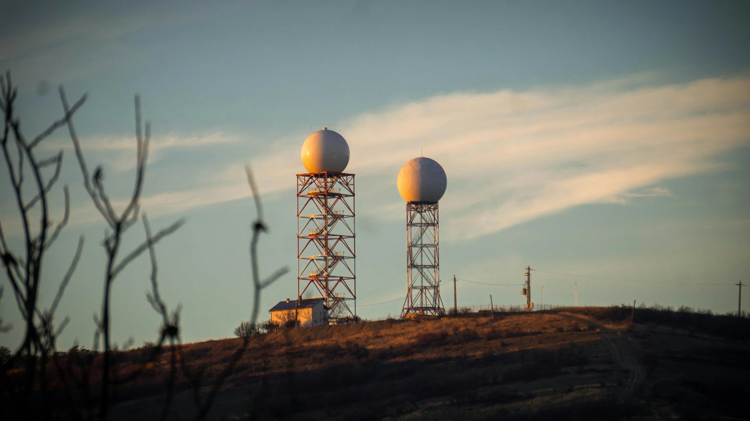
Gap-Filling Radars
Alamosa, Colorado, is situated in the San Luis Valley, a basin famously known as a "weather hole" because it is surrounded by towering mountain ranges that blocked radar beams from distant NEXRAD sites in Pueblo and Grand Junction. This left the community with a severe forecasting blind spot. [1, 2, 3, 4, 5]
The push for a local radar began around 2013 when Joe Busto of the Colorado Water Conservation Board and Ken Howard of NOAA's National Severe Storms Laboratory recognized that the valley's snowpack and severe weather were vastly under-measured. To test the theory, the Conejos Water Conservancy District rented a temporary Doppler radar from 2013 to 2018. The results were eye-opening; for example, the temporary radar revealed a localized 34,000 acre-feet of water in the mountains, whereas distant regional radars had estimated only 3,000 acre-feet. [1, 2, 3]
Armed with proof of how vital accurate snowpack and precipitation tracking was to the area's agricultural and hydrological needs, a massive local coalition was formed. Local entities, including the Rio Grande Water Conservation District, joined forces to help fund a permanent solution. Ultimately, Alamosa County chose a site adjacent to the San Luis Valley Regional Airport, and the new C-Band Doppler radar went operational in the fall of 2019, completely transforming local streamflow prediction and public safety warnings.
San Luis Valley Weather Radar Project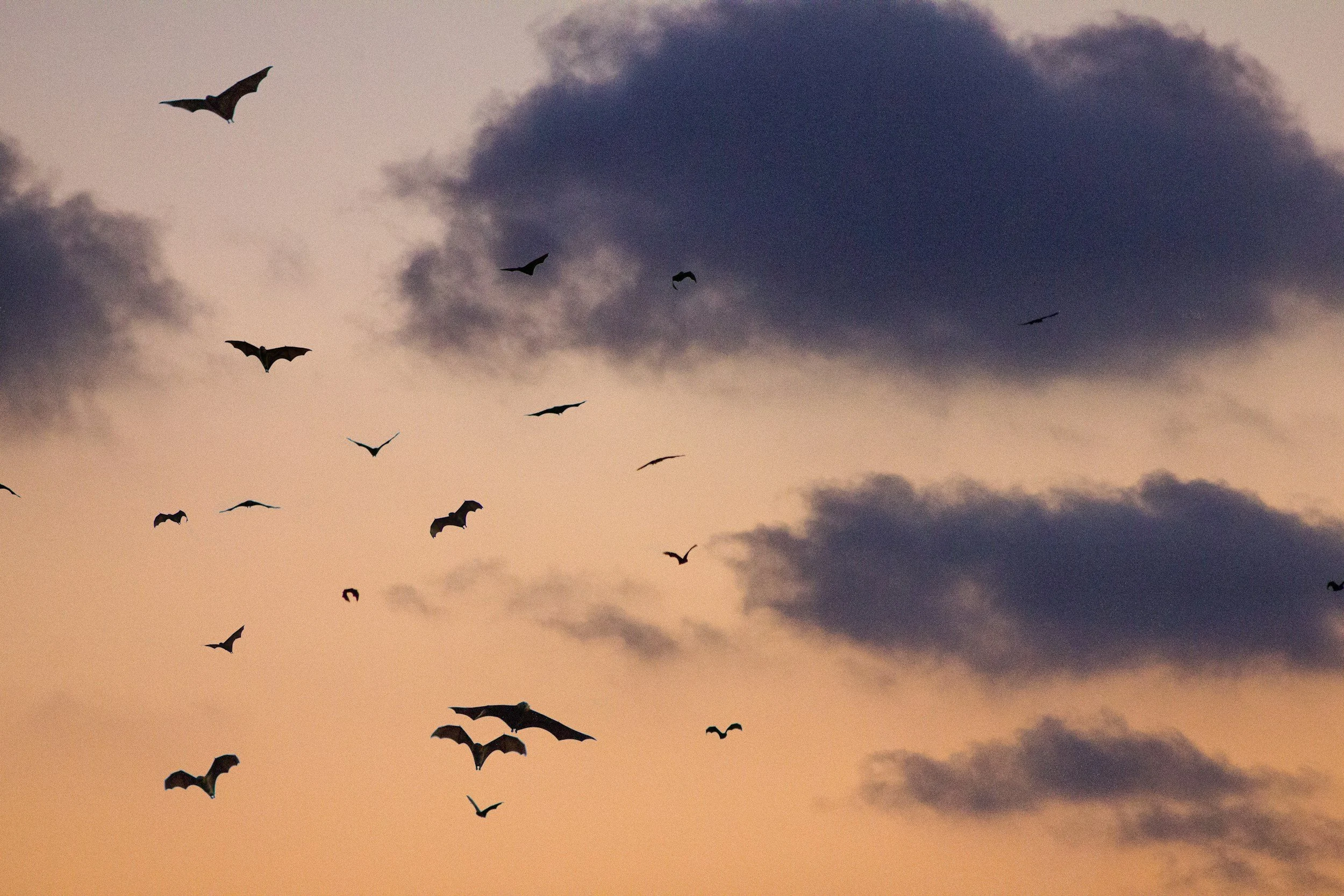
Aeroecology
Focused, approachable, and driven by results, our sales manager is all about building strong relationships. They help connect people to the right solutions—with clarity and care.
Phoenix Bats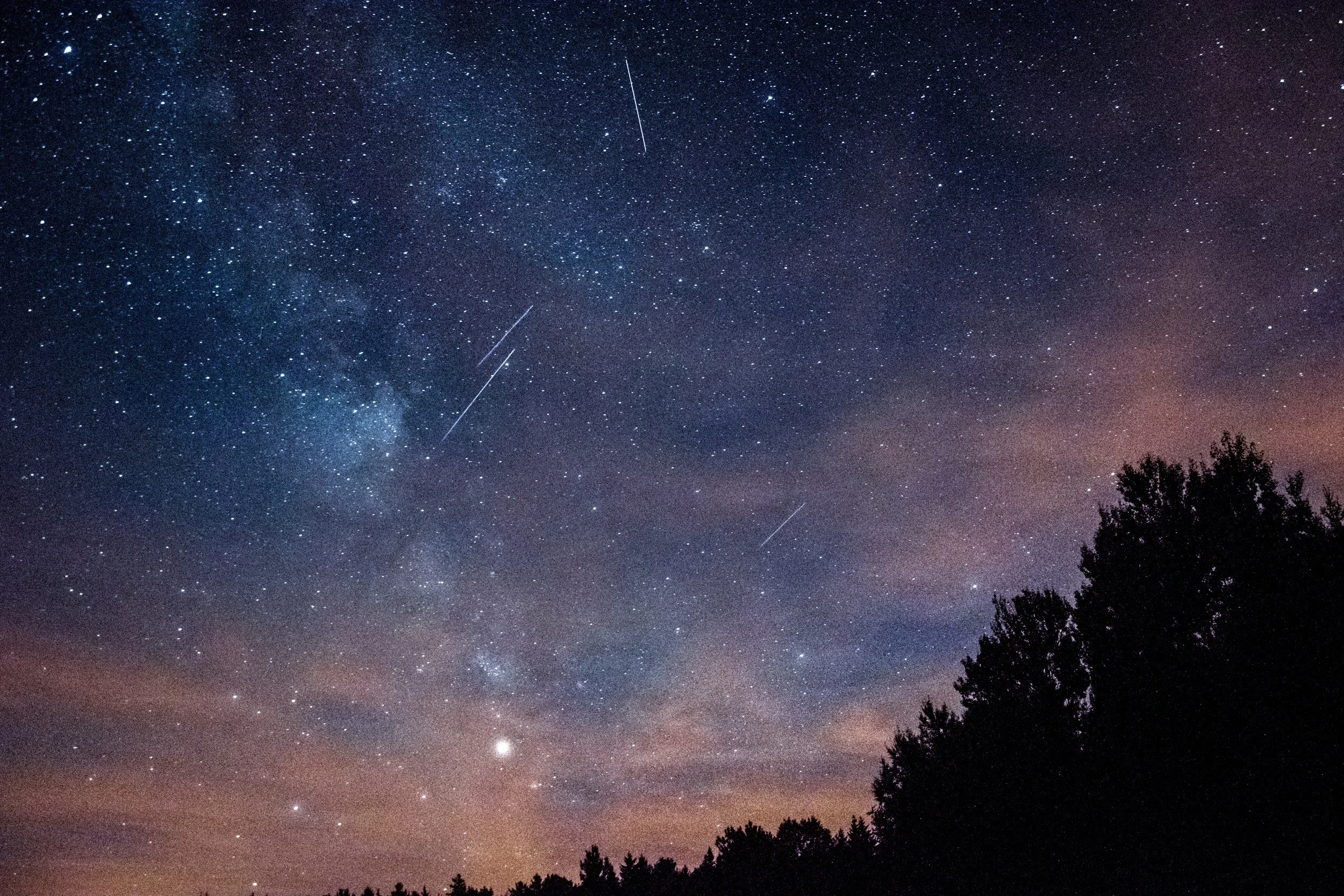
Meteor TrackingSpace Debris
Creative and strategic in equal measure, our marketing director brings fresh ideas to every campaign. They turn insights into action and help our message resonate with the right audience.